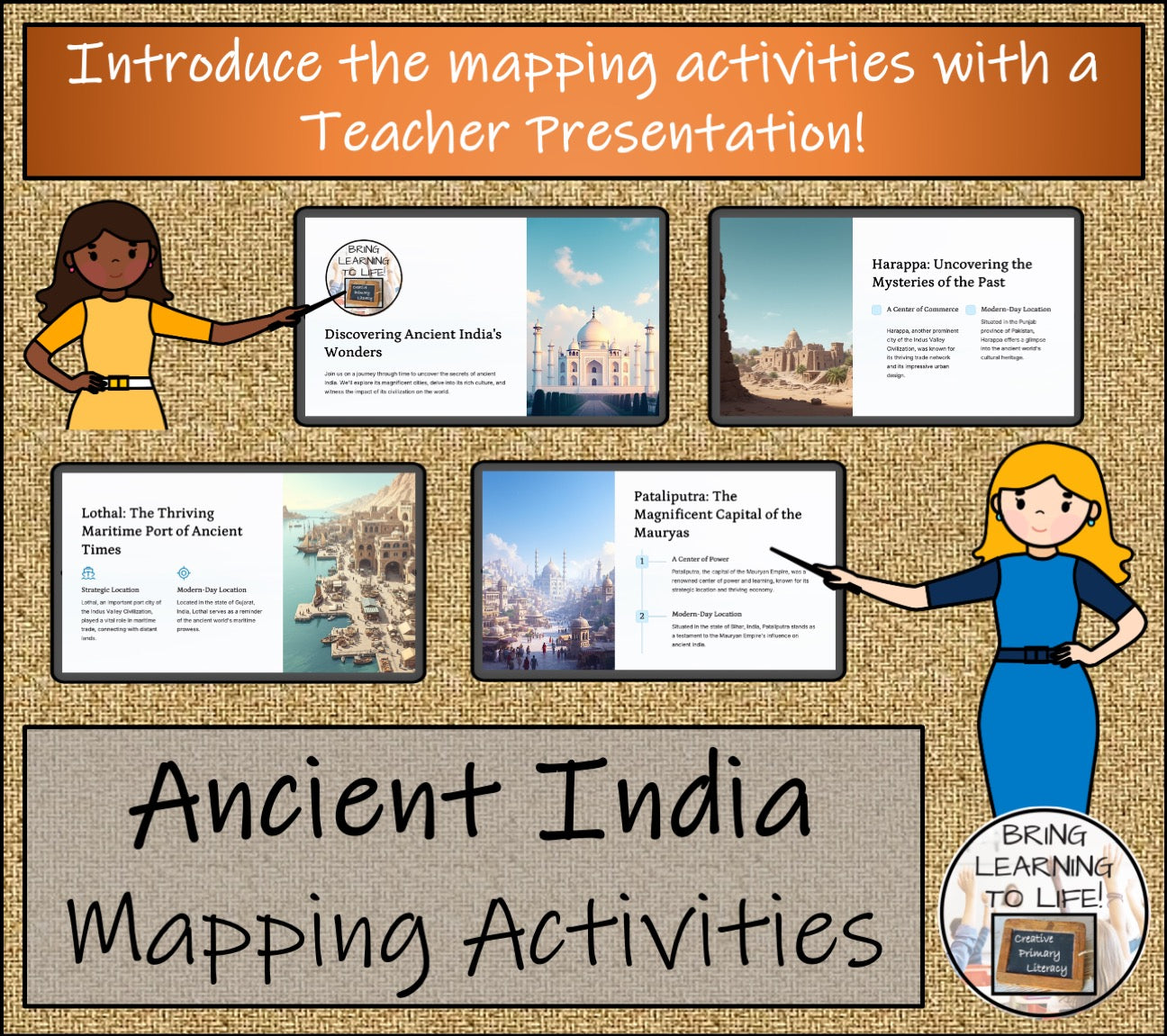
Ancient India Map Activity & Teaching Presentation
Ancient India Map Activity & Teaching Presentation
Couldn't load pickup availability
Explore the Ancient World with our Ancient India Mapping Activities!
Step into the incredible early civilization with this engaging Ancient India Map Activity and Teacher Presentation! Designed for 3rd to 7th graders, this hands-on resource brings history and geography to life. Students will explore the ancient lands of India and beyond, uncover the secrets of cities along the Indus River and River Ganges, and trace the influential empire at its peak.
This comprehensive resource includes:
- Modern and Ancient Maps to connect past and present.
- Interactive Mapping Tasks that encourage research and critical thinking.
- A focus on key geographic features like seas, cities, and countries.
- A wordsearch puzzle to reinforce vocabulary and historical knowledge.
- A detailed Teacher Presentation to guide learning.
Aligned with Common Core Standards and perfect for social studies, geography, and history lessons, this activity fosters skills like map reading, research, and spatial awareness. It’s ideal for homeschooling, classrooms, and history enrichment programs.
Engage your students with this exciting and educational journey into one of the world’s most influential ancient civilizations! Download now and inspire a lifelong love of history and geography!
⎻⎻⎻⎻⎻⎻⎻⎻⎻⎻⎻⎻⎻⎻⎻⎻⎻⎻⎻⎻⎻⎻⎻⎻⎻⎻⎻⎻⎻⎻⎻⎻⎻⎻⎻⎻⎻⎻⎻⎻⎻⎻⎻⎻⎻⎻⎻⎻⎻⎻⎻⎻⎻⎻⎻⎻⎻⎻
This resource is great for:
In class learning
Independent work
Homework
Guided reading sessions
Assessment practice
Reading interventions
Emergency sub plans
⏚⏚⏚⏚⏚⏚⏚⏚⏚⏚⏚⏚⏚⏚⏚⏚⏚⏚⏚⏚⏚⏚⏚⏚⏚⏚⏚⏚⏚⏚⏚⏚⏚⏚⏚
Share


